Spatial Integration 2.8: Live QGIS Maps, Seismic Sections, Streaming Overlays, Graticules and more…
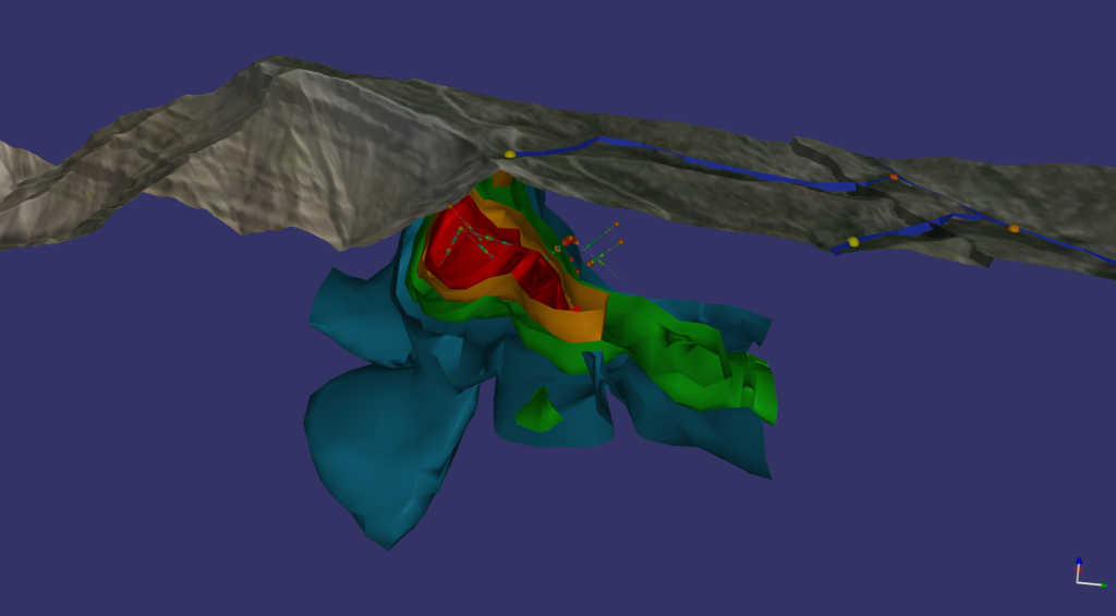
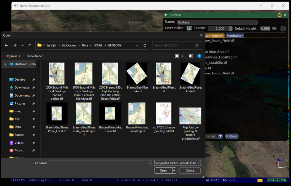
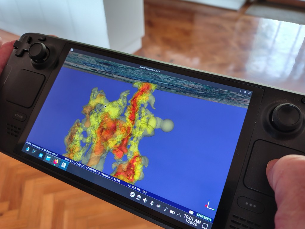
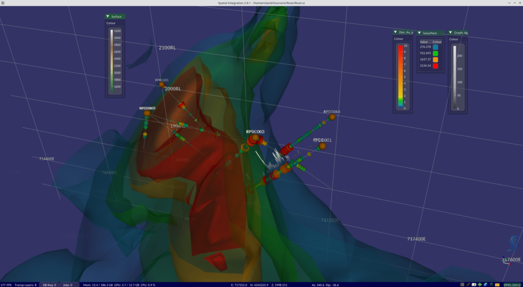
Version 2.8 of Spatial Integration is out, and it is the largest release we have shipped. There is a genuinely live connection to QGIS, SEGY seismic sections, user-defined streaming imagery, and a rendering pipeline that now manages its own level of detail against a frame rate you choose. Here’s what’s included, and why each piece […]