
Apply for a Community Edition license directly from the Spatial Integration application.
Upgrade to a Professional Edition by contacting licensing@fourwindstechnology.com with your license number.
Spatial Integration (2.8.1) – Early-Access

New Windows MSI installer. Manually remove pre-2.7.0 versions first!
You will need up-to-date graphics drivers! Vulkan driver version 1.3+ is recommended.

Linux FlatpakRef file. Download and click the installer flatpakref file. You must already have FlatPak installed on your system.
Note that installation may take some time if you don’t already have the 25.08 base files installed.
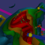
Roan example data and project
Updated with structural symbols, downhole graphs (Pro) and predefined bookmarks
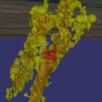
Eloise example data and project
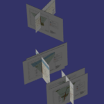
Cracow example data and project
Geoscience Plugin for QGIS
Please use the plugin manager available from the Plugins menu, within QGIS.