
You can use the example projects below to easily get up and running with Spatial Integration. They were created using the Package functionality of SI. Simply download, unzip and then open the .si project file with Spatial Integration.
Roan
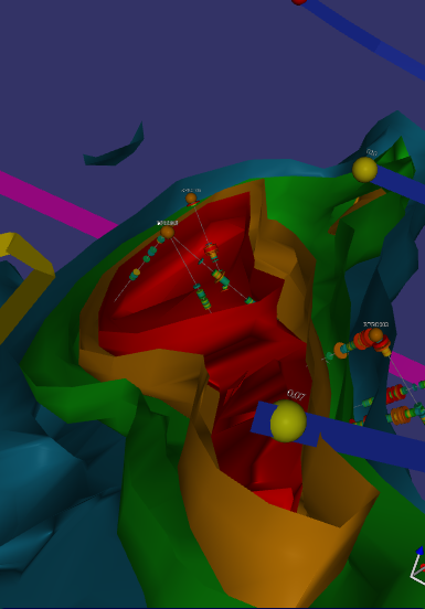
The Roan test project consists of Lidar and SRTM data with air photo and geology overlays. It demonstrates how to inset high resolution Lidar into low resolution SRTM.
Added to this are artifical drill holes, stream sediment samples, line and polygon interpretation and 3D resistivity inversion. The project is designed simply as a test area.
Roan is a combination of real and imaginery data.
Eloise
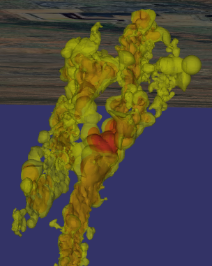
This demonstrates the high quality of transparency in Spatial Integration. You can see through multiple nested ore shells to get a good understanding of Cu distribution and drill hole density. This project is also a great demonstration of using multiple clip objects. Try turning on the second and third clip sections from the Clip flyout menu on the right.
Eloise data is courtesy of the Sustainable Minerals Institute’s Mineral Deposit Atlas.
Also check out the tutorial video using this data.
Cracow
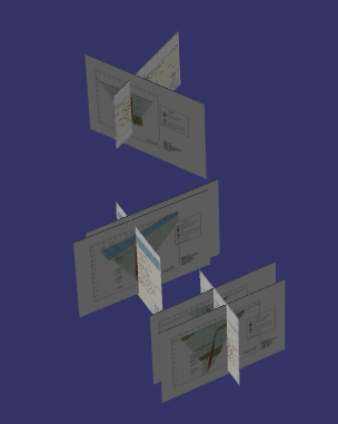
The Cracow project demonstrates placement of section images in the scene. It also has a high resolution air photo draped over lidar to make a very detailed surface.
Cracow data is courtesy of the Sustainable Minerals Institute’s Mineral Deposit Atlas.
Also check out the tutorial video using this data.