You can use the Geoscience plugin for QGIS to convert alpha and beta angles into dip and dip direction, then use those values in sections and maps.
You define your HoleID, Depth, Alpha and Beta fields, which then get combined with your previously desurveyed holes to produce a new layer with dip and dip direction (fields named _Dip & _DipDir), 3D coordinate and a 3D polygon representing the oriented plane. These can be used to generate sections.
Rotations are performed assuming that beta angles are measured clockwise looking down the hole from the orientation line on the bottom of the core, around to the longest part of the ellipse down the hole. Angles should be in degrees.
For those interested, all rotations are performed on the structural plane normal using quaternions. The only trigonometric functions used are right at the end to convert the final plane normal back into dip and dip direction.
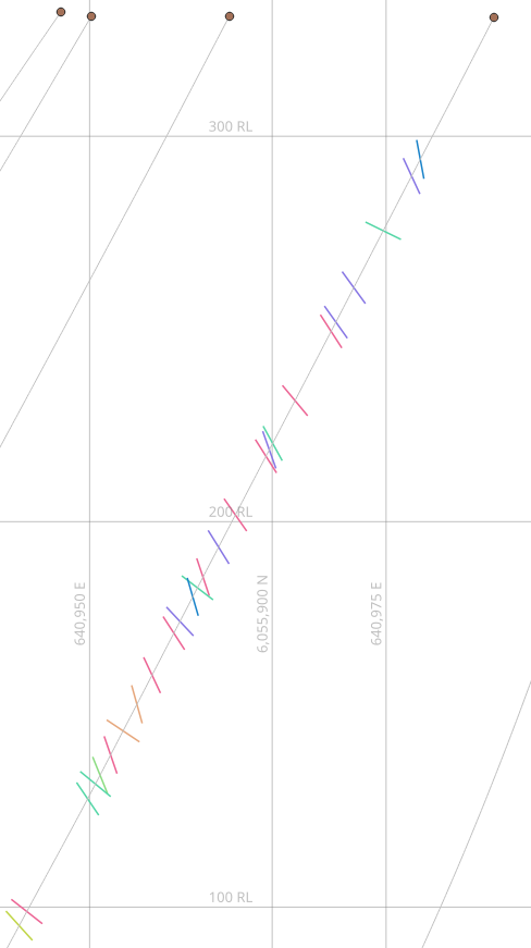
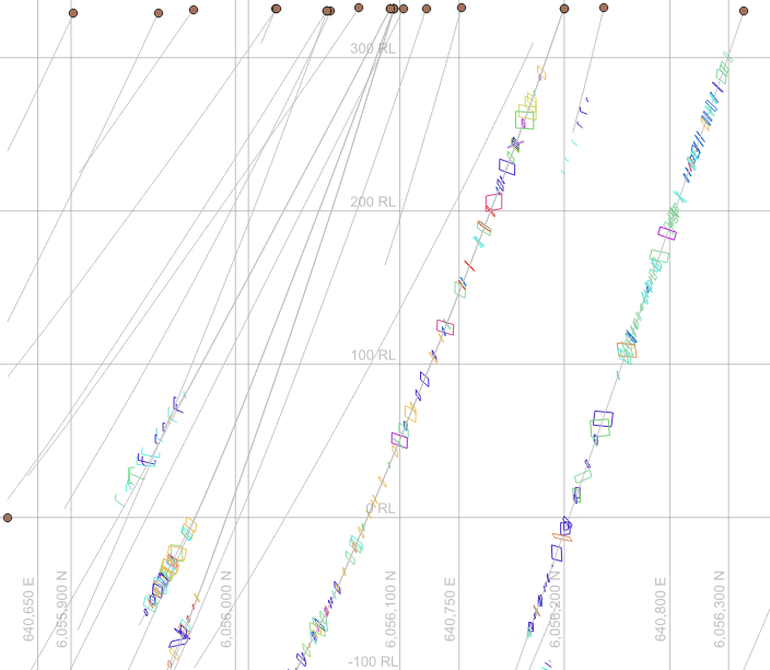
If you then use the newly created structural layer in a drill section the Geoscience plugin will detect the _Dip and _DipDir fields, combine it with the orientation of the section line and generate a new field labelled _Section_Dip, which contains the apparent dip of the structure. This only appears in the structure layers within the section groups. You can apply a style to the apparent dip to display an appropriately dipping line (Try the style file below). Note, if you already have dip and dip direction calculated, then rename the fields _Dip and _DipDir to have Geoscience use them when making a section.