NAtive File DIAlogs
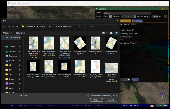
Spatial Integration now uses native file dialogs! Version 2.4.1 introduces file dialogs that customised to…
Steam Deck
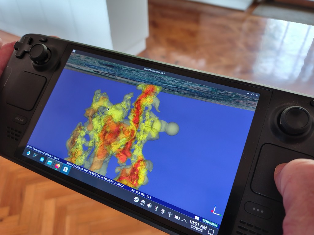
Spatial Integration works on a Steam Deck! The Flatpak packaging of Spatial Integration allows it…
Features overview video
Want to know more about Spatial Integration? Check out the overview video to see features,…
Spatial integration now available
We are proud to announce that Spatial Integration is now in Early Access and available…
Elevation surface tutorial
Want to know how to create elevation surfaces in Spatial Integration? See the Elevation Surface…
Spatial Integration adds Groups
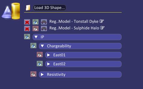
Spatial Integration adds Groups to the layer control. Groups have now been implemented to make layer handling easier….
Downhole histogram plots
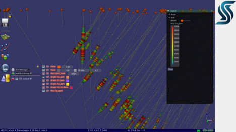
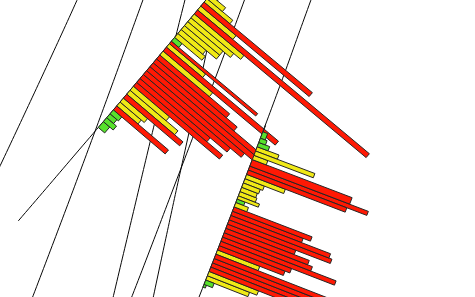
Histogram plots are a popular method for displaying down hole data. The method below allows…
Large surface demonstration video
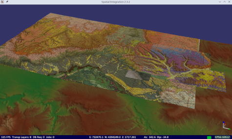
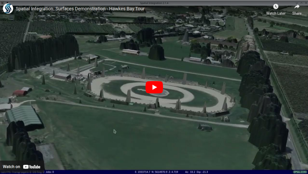
Check out the new demonstration video on YouTube showing Spatial Integration rendering a surface with…

